

As you approach Mackinac Island, either by ferry or airplane, notice how the landscape changes from a flat exterior to massive bluffs moving inland. Almost like the limestone rock is rising out of the blue water.
That’s precisely what the Anishinaabek people thought, that Mackinac Island looked like a turtle shell rising out of the water and thus called the area Michilimackinac, meaning place of the great turtle.
While most of Mackinac Island’s exterior is flat, if you’ve ever visited Mackinac Island’s interior, you know that the rising up part is spot on. East Bluff and West Bluff are appropriately named as they rise more than 125 feet above Lake Huron. One of the most common ways to get to Grand Hotel is to go up Grand Hill. And if you’re making your way around Mackinac Island on M-185 and want to see Arch Rock, you must first climb 207 steps to get to the top.
Here’s a look at some of Mackinac Island’s special features and scenic overlooks:

MACKINAC ISLAND’S PERIMETER
Traveling the 8.2 miles around M-185, the nation’s only car-free highway, is a must-do for many visitors. The perimeter of Mackinac Island is mostly flat with a max grade of 3% and an average grade of 1%.
What to expect on the ride all the way around Mackinac Island
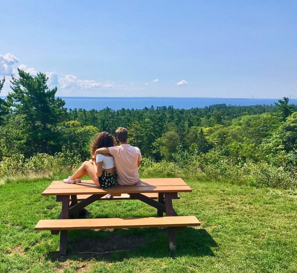
MACKINAC ISLAND’S HIGHEST POINT
In 1812 British soldiers and Native American allies landed on the north end of Mackinac Island, now called British Landing, intending to take over Fort Mackinac. They quietly made their way to the tallest point, a ridge on top of Mackinac Island, and fired a single round from a cannon they dragged with them. They called for the surrender of Fort Mackinac and were successful.
Fort Holmes sits at the highest point on Mackinac Island. At 320 feet above lake level and more than 890 feet above sea level, Fort Holmes is a site and a sight to see!
You can visit Fort Holmes and its stunning views by ascending 141 stairs from Rifle Range Road. Or, avoid the stairs and take Fort Holmes Road to the top.
While you’re up there, be sure to stop at Point Lookout. It’s about halfway up Fort Holmes Road and offers a bird’s eye view of Mackinac Island’s legendary Sugar Loaf!
Fort Holmes on Mackinac Island

MACKINAC ISLAND’S ARCH ROCK
With endless views of Lake Huron, Mackinac Island’s most famous natural rock formations is worth a visit. The top of Arch Rock is 145 feet above the water and can be reached by roads, trails and 207 steps up from M-185. The climb is steep, but the views are worth it!
10 legendary landmarks in Mackinac Island State Park

ANNE’S TABLET ON MACKINAC ISLAND
Between East Bluff and Fort Mackinac is a hidden trail through the trees with spectacular views of downtown Mackinac Island from above. Here you’ll find Anne’s Tablet, a bronze plaque honoring author Constance Fenimore Woolson and her 19th-century novel Anne that was set on Mackinac Island.
The story behind Anne’s Tablet on Mackinac Island

ROBINSON’S FOLLY ON MACKINAC ISLAND
This 127-foot limestone cliff is located on the east side of Mackinac Island, past East Bluff and up from Mission Point Resort. Legend has it that British Captain David Robertson built a house on top of the bluff for a Native American maiden. One night, a jealous Native American attacked Robertson and all three fell to their deaths.
Legendary landmarks on Mackinac Island: Robinson’s Folly
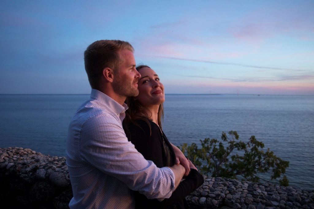
MACKINAC ISLAND’S SUNSET ROCK
Watch the sun go down or just enjoy the vast views of the Straits of Mackinac and Mackinac Bridge when you visit Sunset Rock. Also known as Chimney Rock, it is located on the west side of Mackinac Island near The Inn at Stonecliffe.
Best places on Mackinac Island to watch the sunset

MACKINAC ISLAND’S PONTIAC TRAIL
Watch freighters pass by the Straits of Mackinac as you hike this little trail off Mackinac Island’s West Bluff Road. Pontiac Trail has a great view of the Mackinac Bridge and has stairs leading down to M-185.
Hiking and biking trails to explore on Mackinac Island
RELATED MACKINAC ISLAND BLOGS:
